top of page

Skills

Civil 3D Professional & Designer & Drone ScienceFly Surveying
-
GNSS
-
Civil 3D 2021professional
-
Surveying & Mapping by eBee Science Fly & GNSS Solutions
-
Topographical, Land, Roads, survey.
-
Designing roads, profiles, Plans, cross-sections, and Calculate the quantities.
-
GNSS, GPS, and total stations.
-
Leica Infinity software.
-
Civil 3D 2021with satellite images.
-
Topographical survey for buildings, civil and water projects.
-
Excel & word 2019.

DJI

fd7f5538-a43e-4303-a8bf-95e4d6313c32

b5c5348e-79e9-4509-af2c-174b497fa2ef

846a5c75-460f-4eb0-b3be-6fccda57e6b2

11a55a7f-bcd9-4440-8258-7d4e28817c58

c875ec49-050c-43fc-b918-32f99d164b62

fd7f5538-a43e-4303-a8bf-95e4d6313c32

6d7e9c07-5044-489a-a573-2537256a5630

216f749a-743b-48ae-98d0-53e9d7477e33

aa584a42-a29d-49fd-b9fa-8a706cb30938

Bazyan Receive Station

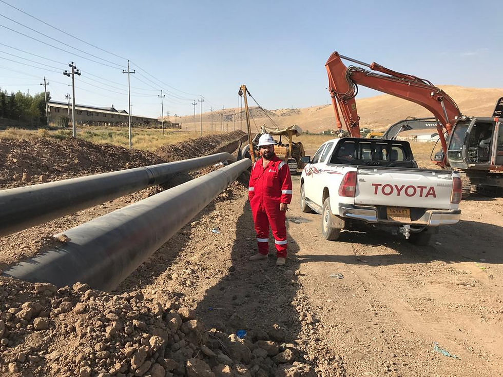
Pipe Line Gas From Chemchemal To Bazyan Power Plant Station
bottom of page